
ccTLD Explorer
The ccTLD Explorer is an experiment in visualizing information about country-code top-level domains: the two-letter domains, like .au, .de and .jp, that are delegated for countries and territories.
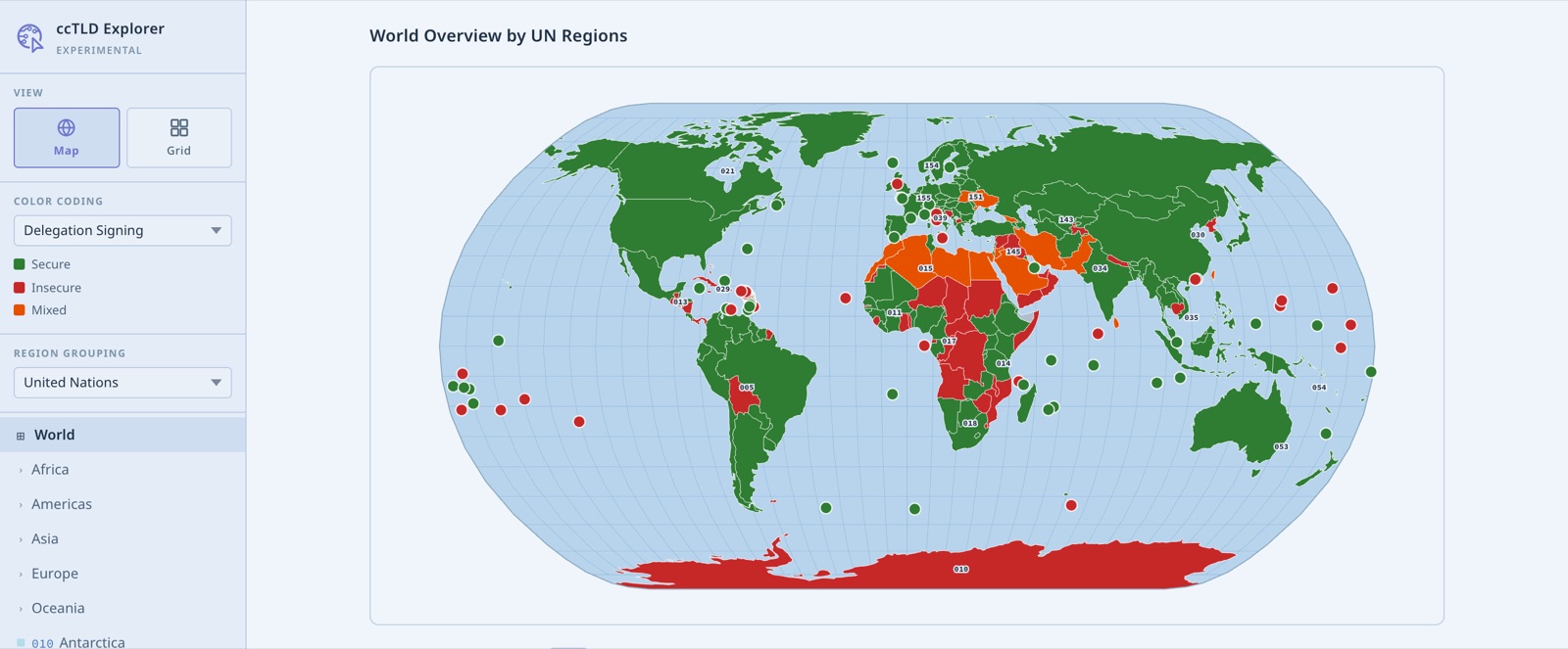
It is built around a map of the world. You can colour the map by different properties, and group countries in different ways: by ICANN region, by the Regional Internet Registry (RIR) that serves them, or by the regions and sub-regions defined by the United Nations. From the world view you can step into a region to see the countries and territories within it.
The map can also show how the domains are run. One view shows DNSSEC adoption, distinguishing ccTLDs whose delegations are signed from those that are not. Another shows which countries have adopted internationalized domain names, with ccTLDs in their own scripts alongside the familiar two-letter codes.
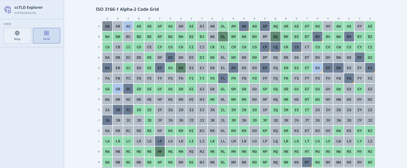
Beyond the map, there is a grid view of every possible two-letter code in ISO 3166-1, the standard that ccTLDs are based on. It shows at a glance which codes are assigned to countries, which are reserved for other purposes, and which remain unused.
It remains an experiment and a work in progress. Visit the ccTLD Explorer to try it for yourself.